Tide and Currents
Apr 22, 2021
Last year, Canadian Power and Sail Squadrons offered a series of free monthly online Webinars, based on a number of educational seminars that had been produced for our squadrons to present at marinas and yacht clubs. About a 100 persons registered for each of these very interesting presentations. However, the last seminar in that series was on Tide and Currents, and we had an amazing registration of over 500 persons. This was likely no accident; the mysteries of tides and their associated currents have fascinated boaters and non-boaters for centuries; early square-rigged sailing vessels used inflowing flood tides to assist getting into upriver ports, and the ebb flows to return to sea. Today, the powerful currents generated by tides are even used to generate electricity, and phenomena such as tidal bores draw thousands of tourists to the economies of some areas.
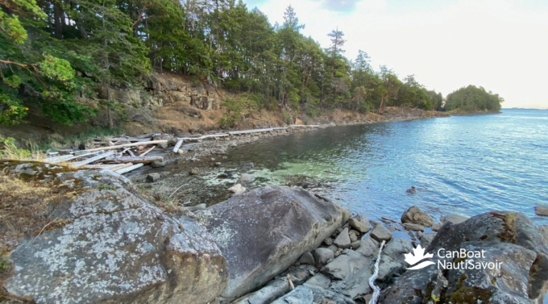
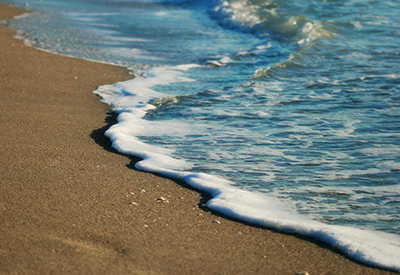
The vertical rise and fall of ocean tides, and the currents they generate, are one of Mother Nature’s most spectacular displays of force. Powered by the combined gravitational forces of the Moon and Sun, the rise and fall of ocean waters that occurs twice daily in most locations, may vary from no more than a few centimetres in some places, to almost 15 metres in others, with currents that are barely noticeable, to a surging 16 knots. For the boater who lives along one of Canada’s coasts, or even the inland boater who plans a cruise into tidal waters, a sound knowledge of the tides and currents is absolutely essential.
Hydrographic agencies around the world publish printed tide and current tables annually, along with supplementary online materials that predict the daily tide levels and currents for Reference and Secondary ports. However, the Canadian Hydrographic Service (CHS) discontinued publishing these documents along with Chart 1, but makes them available on their web site. These tables are based on years of observations of our tidal waters, and are very accurate. However, a word of caution; these are predictions only, and actual levels may vary due to wind velocity and direction, as well as local geographic features, such as, narrow passes, islands, shoals, changing bottom contours, etc. Also, do not forget the wisdom of advice from local boaters.
Want to know more? CPS-ECP courses, “Near Shore Marine Navigation Level 1” and “Level 2” have sections detailing how to work with tide and current tables. If you just want to have a look before you take a full course, or you want to polish up what you may have forgotten, consider our short seminar, “Tides and Currents.”