


Navionics SonarCharts

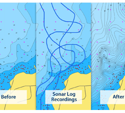
Navionics has greatly improved the resolution of its electronic charting of underwater landforms with new high-definition data that draws true bottom contour lines. Created by integrating existing hydrographic data with sonar logs received from the extensive Navionics user community, these new SonarCharts provide up-to-date detail with a level of accuracy not previously available. This new software is compatible with Platinum+ cartography packages for iPad and iPhone at retail prices of $5.00 and $10.00 respectively. A beta version is now being field-tested for their WebApp packages and should be widely available shortly.
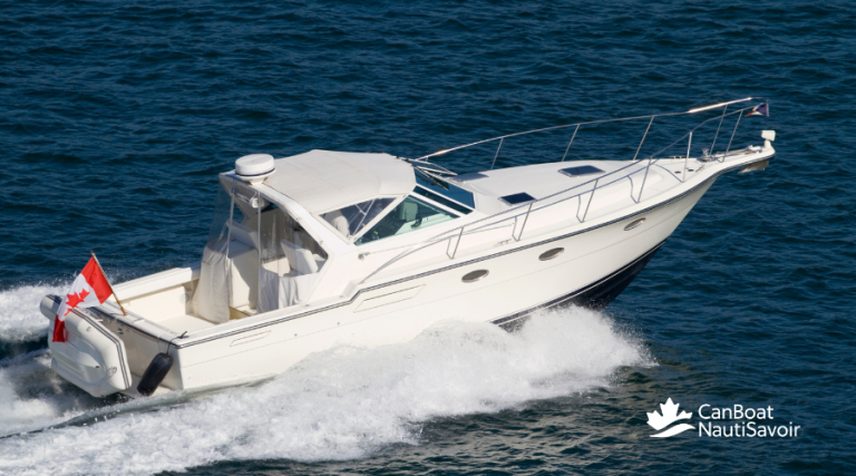
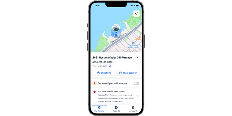
www.navionics.com

Related Articles


Boston Whaler 350 Realm

By Andy Adams

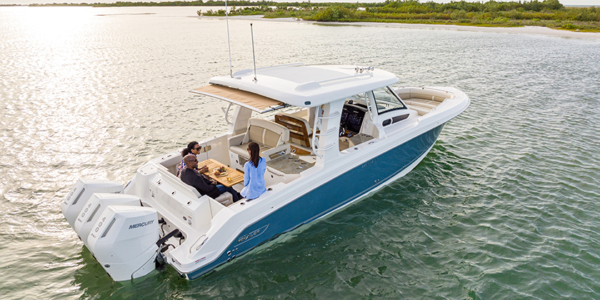
You might be dreaming of an adventure boat, or a luxury cruiser, or maybe a serious fishing platform. You might dream of an overnight exploration boat, or a boat that entertains a big group of friends or family. Whatever your ambitions, the features and appointments, and the stellar performance of the Boston Whaler 350 Realm, equipped with triple Mercury Verado V10-cylinder 425 horsepower engines, feels like it could do just about anything. It’s the Great Entertainer.

Read More


Destinations

The Whitsunday Islands

By Mathew Channer

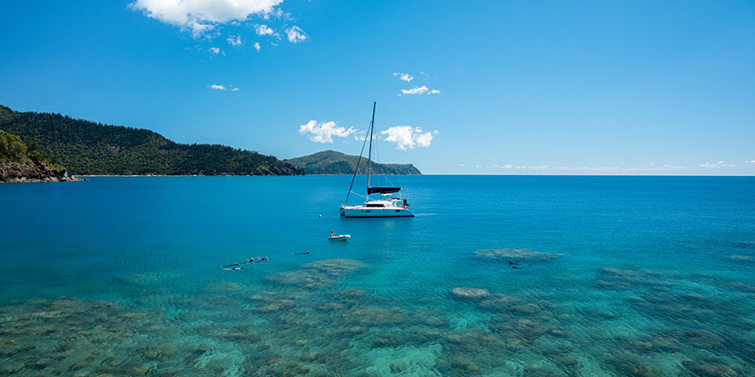
On my first day as a commercially registered yacht captain, I sailed a Fontaine Pajot 38 catamaran from mainland Australia across the Whitsunday Passage to the western shores of the world-famous Whitsunday islands.

We cruised northeast on a 15-knot beam reach… perfect catamaran sailing conditions, watching the hazy shapes of the islands colourize and morph into crescent beaches, jungled ridgelines and rocky outcrops. 

Read More