“Don’t Throw Away Paper Navigation Charts Just Yet”
Mar 28, 2024
Boaters should take heed that various experts keep advising that while global navigation systems are commonplace — “paper charts are still and always will be relevant.” Plus many agree that to help in avoiding on-water incidents, a balance between new and ‘old’ i.e. traditional systems, and including physical observations, can be key even in this digital age.
Readily available electronic navigation tools aid cruisers but some of the inexperienced think they are infallible.
Electronics aid navigation
Most higher quality recreational electronic chart manufacturers clearly state in the product information provided to buyers that their product should be considered an aid and that government charts, along with official notices, make for safer navigation.
Note the charts that your manufacturer provided in electronic chart plotters, cautioned that even with the latest updates, there is no explicit guarantee of accuracy. Again, users are put on notice that it is their responsibility “to use official government charts, notices to mariners, caution and proper navigational skill when operating this product.”
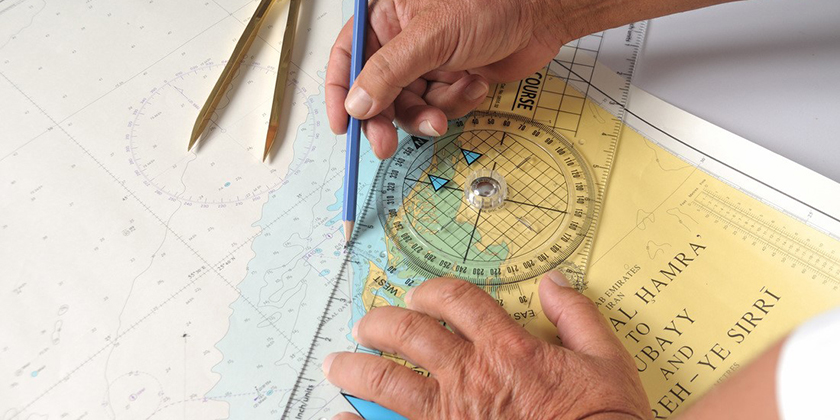
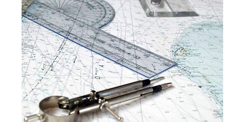
Keeping track with paper charts
Again, when electronic aids are utilized they become powerful tools but many veteran boaters regularly mark their progress on paper charts to confirm those readings. After all, the marine environment can be unforgiving and electronic devices can fail, perhaps when needed the most. Ever had an obstruction cause a signal to drop out?
Running regular checks on the software, said one seller, does not necessarily equate to verifying fix. Expect the unpredictable. Think of the occasional problems that can arise afloat.
* * *
Nautical charts rely on highly accurate information
Nautical charts (and hydrographic surveys) we are informed by the National Oceanic and Atmospheric Administration officials, “…rely on accurate shoreline information and a precise geodectic infrastructure with elevation, tide and water level data — shoreline surveys being critical to keeping nautical charts up to date.”
While today’s focus shifts from paper charts to the electronic format, some scales and irregular layouts can be retained which also can result in a product suite less than ideal for mariners’ use in electronic systems. Features compiled on adjacent charts may not match seamlessly even when the same scale.
[SIDEBAR]
From the Canadian Power and Sail Squadron’s National Education Officer:
We have recently updated our Basic Navigation and Boat Handling Course. This is the course that directly follows PCOC. In the course we have developed a robust treatment of the fundamentals of Paper Charts and their importance as well as an introduction to electronic navigation. We believe that both are essential to be taught. Eric Phinney
See: boatingcourses.ca
* * *
Electronic charts – additional disadvantages
Back to paper charts and wisdom (and some sobering thoughts) from a highly experienced Canadian Electronic and Traditional Navigation Instructor who says, “Electronic charts are terrific, if used correctly. If used incorrectly, they may well kill you. The same can be said for paper charts.”
He continues, “However, paper charts have an inherent advantage – they do not use electricity. In addition there is no chance of an authorized paper chart being ‘spoofed.’ Yes, there have been numerous examples of signals that have been electronically compromised.”
Another expert advised, “Be cautious of electronic charts and utilize paper charts as a back-up and always plot and track your progress as you navigate.”
And still another comments he will always utilize paper charts (along with GPS) to double check his navigation while he does admit electronic charts are nice to have for their convenience.
Increase crew, guest’s and the vessel’s safety by locating your position by further plotting on paper charts and updates, whether in confined waterways, unmarked channels, or open water, or pretty much wherever you boat. You may be very glad you did.
– – –
Joan Wenner, J.D. is a longtime, widely published boating safety writer with a law degree, and lifelong sailor. Comments or questions are welcomed at joan_writer@yahoo.com
Her previous story on ‘Good Samaritan’ Rules and Risks appeared in the June 2019 issue of Canadian Yachting.