

Aqua Map Route Planner: Hybrid Route Planning Tool for Smarter Navigation
Aug 28, 2025
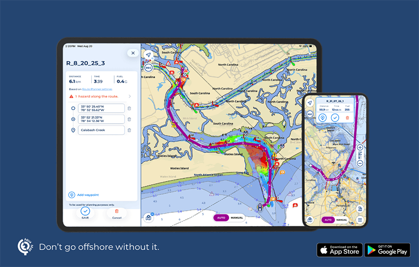
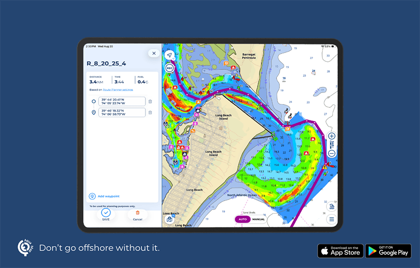
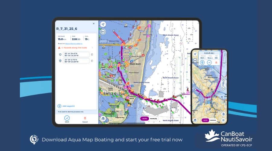
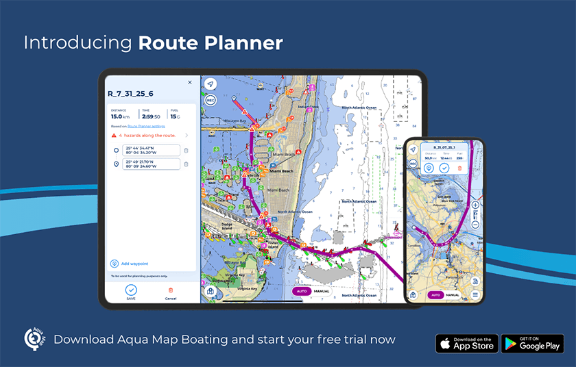
Aqua Map is pleased to announce the launch of Route Planner, a multifunctional route planning tool that offers navigators enhanced control and flexibility. By combining Automatic and Manual planning modes, Route Planner allows seamless switching between them within the same route. This hybrid routing capability enables users to customize and combine manual and automatic segments, or fully manual or fully automatic routes, providing precise control.
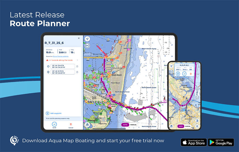
Key features include:
✔ Automatic and Manual Planning Modes: Seamless switch between manual and automatic planning modes from within the same route.
✔ Use existing tracks as guides: Reference tracks and routes that are visible on your charts as a guide in creating of new routes.
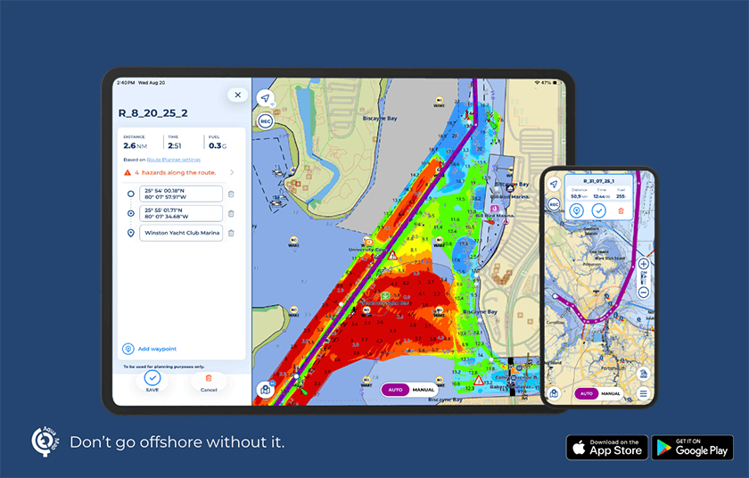
✔ Hazard Detection while planning: Navigational hazards are automatically identified in both planning modes. Hazards remain visible while planning and during active navigation and within the Route Explorer.
✔ Integrate Local Data into Automatic planning: Incorporate US Coast Guard Data (List of Lights) and additional layers such as US Army Corps of Engineers surveys to enhance your route calculation.
✔ Display extra data while planning: Display overlays from marine forecasts and satellite imagery, tides and currents, community POIs from Active Captain and Waterway Guide.
✔ Quick search: Easily find and add specific locations, custom markers, or points of interest to your waypoint list.
“We’re looking forward to introducing this update to route planning that gives our users more control and integrates both Automatic and Manual route planning modes to enhance their planning experience in Aqua Map,” said Enrico Valle, CEO & Co-Founder at GEC srl, developers of Aqua Map. “Route Planner helps navigators make smart decisions with all the essential data in one place to enjoy safer journeys.”
Route Planner is now available to all Aqua Map users. New users can explore any chart subscription and our set of advanced tools with a free 14-day trial (availability may vary by location).
For more information and to download the app, visit www.aquamap.app.
About Aqua Map:
Aqua Map is a marine navigation app that provides up-to-date nautical charts with advanced planning tools for support safety and confidence when sailing. Aqua Map puts advanced and reliable navigation in your hands.
CanBoat Member Discount:
CanBoat members will receive a 25% discount when they download the app of the navigational waters of their preference. To get your 25% discount when placing your online order please enter the discount codes listed in the member’s site (log-in required).
Aqua Map is proud Co-sponsor of the CPS-ECP Volunteer of the Year Award. Please support those who support us.