While Embracing the Latest and Greatest in Weather App Technology Don’t Forget the Tried and True Forecasting Methods
By Terri Hodgson – CY Online Editor
When any boater is planning to head out onto the water for a two week excursion or even for an hour, the current and upcoming weather conditions are and should be the deciding factor for getting underway. Consider the recent events near Texada Island, BC where a couple was out on their 16 foot open boat for a day of recreational fishing when they were overcome by some bad weather and rough seas and ended up capsizing into the cold April waters of the Pacific Ocean.
While it isn’t possible to always be prepared for the weather conditions that might be right around the corner, it is important to be as aware and smart as possible. Water and weather conditions can change on a dime in any body of water; arming yourself with the best knowledge ahead of time and as you travel can make the difference between a pleasure cruise and a nightmare. Canadian Yachting has gathered up details on the latest in marine weather apps and advice in order to inform our readers and encourage you to choose the one(s) that fits you best and familiarize with it prior to your next cruise.
Seasoned sailors and cruisers will take a complete check of all available weather info prior to leaving the dock. Wind direction and speed, radar map forecasts, weather network review for small craft warnings and even social media networks for information on any local area incidents or problem areas that fellow boaters may have come across are all valuable resources that give you the best chance of knowing what you can expect. The Weather Network offers a satellite radar weather page that is free and available at http://www.theweathernetwork.com/maps/satellite-radar. This is a great way to have an at-a-glance reference for the current conditions and any trouble that you may be sailing into. The visual map overlay allows you to see different weather conditions in your extended area on any device; you could also consider running it alongside your GPS screen on an iPad or small laptop as you run.
Which Apps are Free?
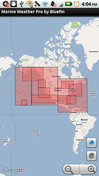
If you are in search of a free, downloadable weather app that will serve as a portable complement to your existing suite of marine electronics and software there are some good options out there as well. AccuWeather offers Marine Weather as a free download from iTunes or Google Play for all Android, iOS, and mobile devices. Self-described as being great for boating, fishing, sailing, and surfing, Marine Weather is a free, ad-supported app providing users access to marine forecasts, live buoy data, tides, radar, & sea surface temperatures.
Features include:
– Marine Forecasts
– Live Buoy Data
– Tide Tables
– Current Predictions (Plus version only)
– Sun rise/set
– Radar
– Sea Surface Temperatures
This app is being touted as easy to install and use and regularly updated. It’s always smart to read current customer reviews though, as they offer insights that might help you in a pinch if you are out on the water. To download, visit iTunes.com or GooglePlay.com and search “Marine Weather by AccuWeather”.
 |
 |
 Buoyweather offers a free solution for weather forecasts on iPhone and Android. This app is a detailed, customized marine weather application directed towards mariners, coastal residents, anglers and watersports enthusiasts. Access your favourite forecasts and charts and set your preferences for easy access from your iPhone. Most free apps offer upgrades to ‘Pro’ (paid) versions and Buoyweather is no exception. What you are able to access for free with this particular program may be too limiting. You have one-click access to 2-day forecasting but if you want to see any further into the future and enjoy all of the other features you have to pay for the upgrade. With all of the free weather information that is readily available to any user today, the creators of this app could have beefed up the performance of the free version considerably.
Windfinder is a cool little free app which will pinpoint your current location and set a proximity around you so that you can always be up to date on the wind conditions, expected precipitation, air pressure, water temperature, etc. This as an ad-supported app which of course you can upgrade to have the ads removed but the free version is quick useful.

Paid App Options
For personal radar weather data, iNavX marine and Fugawi software have integrated the Theyr Weather Overlay which offers up to date weather information on demand in high resolution. Forecast features include options such as geographical zones, standard and hi-res data, length of subscription, and up to 8 different weather data types. Users select the interface they want to use and set the preferences. The app is not free but does offer a free trial and has available pricing options depending on the length of time you intend to cruise during a year. Read up on your options and other details by visiting www.Theyr.com.
 Then There’s the Higher End
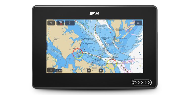
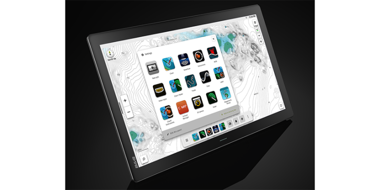
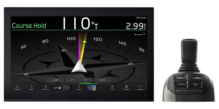
Multi-Function Marine Devices are becoming much more sophisticated, as evidenced by the new A615 Smart Multi Function Display (SMFD) from Argonaut. Introduced as being the world’s first Android powered marine electronic processor, the A615 was built for marine use. This 15″ device can process multiple marine apps from charting to AIS. Unlike common MFD’s, Argonaut’s SMFD is directly connected to the web and offers unlimited capabilities through access to more than 875, 000 Android apps. Amoung the apps it runs is one that offers weather monitoring with live radar plot. With its low power consumption design in combination with giving shock resistance and 360 degrees waterproof, not to mention the three mounting options that ship with it, this device gives you everything you need in one package. Although with a suggested starting price of about three grand it won’t be installed on everyone’s helm anytime soon. Learn more about the A615 at http://ow.ly/wkJnc.
Traditional Weather and Navigation Tools
Traditionally, the MAFOR method of receiving marine weather forecasts has offered mariners some peace of mind in keeping a handle on changing conditions as they navigate. MAFOR, an abbreviation of Marine FORecast, is a North American code used in the transmission of marine weather forecasts to compress a volume of meteorological and marine information into shorter code for convenience during radio broadcasting. The MAFOR forecast usually supplies the period of validity for the forecast, future wind speed and direction, weather, visibility and ‘state of sea.’ ¹ Environment Canada issues MAFOR coded forecasts as part of their marine weather products for the Great Lakes and the St. Lawrence and Saguenay Rivers. The MAFOR system comes with a not too steep learning curve. It is accurate, regular and reliable. The jury is out on how many of us in the digital age would take the time and effort to learn the codes given the plethora of other tools available to us requiring almost zero effort. Of course now you can download an app that decodes MAFOR for you.

As early as the 16th century, ships logs began including observations of the weather. Buys Ballot’s law, taking its name from C. H. D. Buys Ballot, a Dutch meteorologist, first appeared in early versions (prior to 1900) of Bowditchs’ American Practical Navigator and other publications written to assist in passage planning and the safe conduct of ships at sea. Simply put, in the Northern Hemisphere, if a person stands with (their) back to the wind, the low pressure area will be on (their) left. This is because wind travels counterclockwise around low pressure zones in the Northern Hemisphere. It is approximately true in the higher latitudes of the Northern Hemisphere, and is reversed in the Southern Hemisphere, but the angle between the pressure gradient force and wind is not a right angle in low latitudes.²

Caption: With the wind to one’s back (the stick figure is facing out of the picture), a low-pressure center (L) will be to one’s left, high pressure (H) to one’s right (in the Northern Hemisphere)
The best boating days are sun filled and problem free. You can’t control the weather but you can prepare yourself properly. Everyone seems to have a slightly different approach to how they like to track data while they are underway. Your electronics set up can and should be completely personalized and customized to your own needs and preferences. However maintaining a combination of paper charts and electronic GPS is always advised. You can install the latest multi function display; you can mount your paper think iPad to the helm in its waterproof case and stream your waypoints and route, or your music or your weather app, or a combination of all three as you take occasional glances over at your well-creased charts. I’ll bet you can even have Siri read out any weather warnings to you in your chosen Siri voice. If you want to cover your bets though, rely a little bit on the new technology and a little bit on the old, a little bit on the paper, a smidge on your gut feeling, equal amount on the gods of the sea and a great deal on common sense.
Please submit your thoughts or comments on this article at the CY Blog
Footnotes
1. http://en.wikipedia.org/wiki/MAFOR
2. http://en.wikipedia.org/wiki/Buys_Ballot%27s_law