Electronics: Furuno’s GP1871F and GP1971F can now Navigate with Navionics
Apr 20, 2022
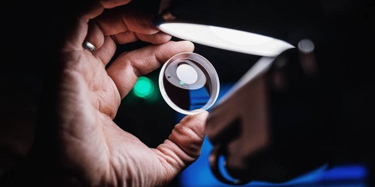
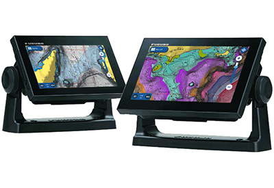
Furuno has announced that Navionics cartography is now available on their GP1871F and GP1971F combination Chart Plotter/Fish Finder units. With the free version 4.0 software, which is a free upgrade available for download at FurunoUSA.com, features such as satellite photography overlay, refined depth contouring and relief shading, bathymetric layers, and enhanced viewing angles, including 3D and Panoramic modes, can all be utilized with Navionics cartography. Plus, users can quickly and easily update the chart content using the Navionics Chart Installer app for PC.
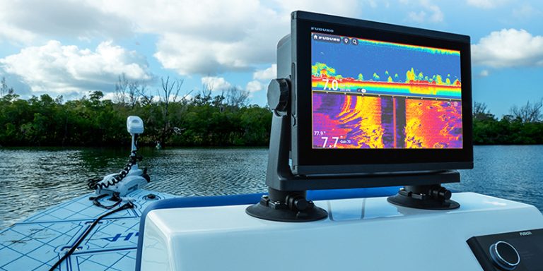
Furuno’s well-earned reputation for building the most durable and feature-rich marine electronics in the industry is matched only by its outstanding support for products in the field. The GP1871F and GP1971F Chart Plotters utilize full-featured C-MAP 4D charts with plenty of valuable data. With the version 4.0 software update, you now have a choice between C-MAP or Navionics cartography. Plus, you can let the Chart Plotter plan your course with its Auto Routing feature using your choice of cartography.
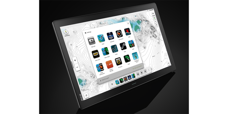
With their generous 7″ and 9″ wide aspect displays, you’ll see all the rich Navionics cartography in a crystal-clear presentation. The all-glass, multi touch displays give you access to every feature via convenient and intuitive slide-out menus, similar to Furuno’s TZtouch3 MFDs. Edge Swipe down from the top of the display to select Quick Pages, including your favorite custom display modes. Edge Swipe from the left to view customized Data Boxes. Edge Swipe from the bottom to quickly adjust your layer settings. Finally, Edge Swipe in from the right to access the menu functions you use the most. Everything is intuitive and contextual, so menu content relates to the current display mode. You can even tap or double tab the display with two fingers to capture a screenshot or perform other user-customized functions!
Radar can be overlaid onto the chart via a wireless connection to the Furuno DRS4W 1st Watch Wireless Radar. The DRS4W’s wireless configuration makes it a breeze to add the compact 19″ Radome to any vessel. The DRS4W can also display the Radar presentation on a connected smartphone or tablet, offering a significant upgrade in safety and versatility. When connected to an AIS receiver, you can see valuable AIS data overlaid on your chart.
The GP1871F and GP1971F Combo units, now with a wider choice of cartography, allow captains of any size vessel to take advantage of Furuno innovations at a price that promises not to break the bank. To download the free software update, or for more information on the GP1871F and GP1971F Combo Units, visit their website at www.FurunoUSA.com.