


Spring 2014 Great Lakes Water Levels – 2 Opposing Views
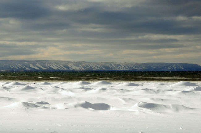
In a response to an article written in a recent edition of a local Simcoe County newspaper bringing our attention to Georgian Bay low water levels, Canadian Yachting reader, John Jamieson, crafted the following rebuttal with an alternative viewpoint for us all to consider.
>> Read the Original Article Here
Georgian Bay Regains Some Water
Mr. Dobel is correct in stating that water levels can be linked in part to ice cover as winter evaporation has been reduced by a more severe winter than we have experienced recently but this is about the only one of his statements that I find that I can agree with.
Mr. Dobel is associated with a lobby group with the sole purpose of getting the Canadian and US governments to fund an underwater berm system in the St. Clair River. The contention is that this will reduce the outflow of water from Lake Huron and “Stop The Drop”. Crusaders on a mission often have a narrow focus which reduces their ability to see the big picture. As well, many tend to cherry pick the data in an attempt to prove their point. Unfortunately this article has regurgitated some of this misinformation.
Climate is the driving factor in the Great Lakes water levels. One has only to superimpose the climate and water level data graph to see the correlation. The International Joint Commission’s study released last year also reiterated this fact. It also recommended that the St. Clair River project be subjected to further study although the estimates were that it would only have minimal effect on water levels. Lower precipitation levels coupled with warmer winters such as we have experienced over the past decade is the main, but not the sole, culprit of the lower water levels that we have experienced since 2000.
Mr. Dobel does not have his facts right when stating that all lakes are at exactly at their long term average levels, with the exception of Huron and Michigan. If one looks at the data from the rest of the lakes the correlation is obvious and while the range of variation varies from lake to lake the highs and lows are similar. Superior has been below its average of 183.4 m since 1998 and was 0.18 m below average last year. Similarly St. Clair was 0.18 m below its average , Erie 0.08 m and Ontario 0.014 below. Erie and Ontario are in a different climatic zone than the upper lakes which probably accounts in part for the fact that they are closer to their long term average. Granted, Huron at 0.52 m below shows the greatest deviation, but all are lower than average.
When one looks at the facts, it is obvious that Mr. Dobel’s St. Clair dredging argument is specious. Dredging was done in response to low water levels in the early 60’s and was not the primary cause of the levels in the mid 60’s. He appears to have put the cart before the horse here. I would be interested in hearing how he explains that the highest record ever was established in 1986 with another high in 1997, well after the dredging was completed in 1964.
John Jamieson is a sailor, cottager and resident of the Georgian Bay area. He has also been a contributor to Canadian Yachting magazine.