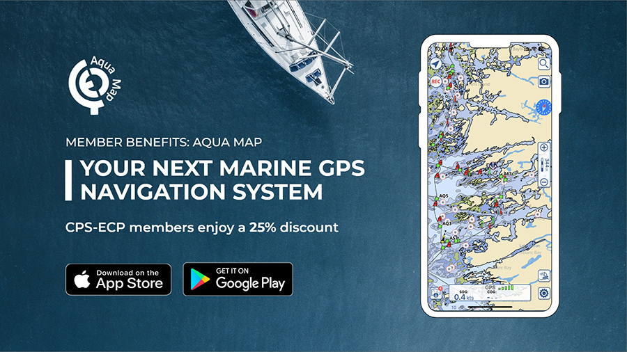
Aqua Map: Your Next Marine GPS Navigation System
Introduction:
Whether you’re a pro or just starting, Aqua Map is designed for you. Available for both iOS and Android, it redefines the way we navigate the waters, offering up to date charts and the latest information from certified bodies like the Canadian Hydrographic Service, Canadian Coast Guard, (in addition to NOAA, USACE, USCG), daily NAVWARNs updates, a thriving Aqua Map community, marine forecasts, anchor alarm on top of a host of other features to elevate your boating adventures.
Aqua Map is emerging as the go-to choice for sailors and boaters seeking a reliable and feature-rich navigation experience. What’s handy about it is that you can share your routes, set up remote anchoring using AnchorLink, integrate your boat’s instrumentation and have access to all your charts and community data even without internet, just to mention a few.
What are the benefits of using Aqua Map as your next marine GPS navigation system:
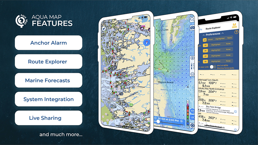
- Clear Charts and customisable interface:
Aqua Map’s Nautical Chart are easy to read and clear. The app is designed to be user-friendly, for this reason, you can make it your own by customising text and symbols, adjust sizes and choose Night/Day colours, or you can switch between raster and vector to suit your preferences. - Navigate Offline
Aqua Map lets you download charts, so you can navigate without worrying about a constant data connection.
- Share your subscription on up to 5 devices across iOS and Android
You can have Aqua Map on up to 5 devices at no extra charge using your GEC account. With a GEC account you can also share markers, tracks, photos, and routes. Use Live Sharing for real-time updates, share data, and in-app chatting.
- Stay Secure with Anchor Alarm and Anchor Link
Aqua Map includes an advanced anchor alarm to keep your vessel secure when anchored. Or take advantage of remote anchoring using Anchorlink. Leave a tablet on board to monitor your boat’s position; Aqua Map notifies you of anchor dragging via phone, Telegram, or email.
- Marine Forecast
Get a detailed weather forecast for any part in the world for the next 7 days and access more than 1000 weather buoys with real-time weather conditions.
- Connect to Your Boat Devices
Aqua Map goes above and beyond by connecting to NMEA (and Signal-K) devices via Wi-Fi. Access wind, depth, compass, GPS, and AIS data right in the app for a comprehensive view.
- Regular Updates:
– Canadian Hydrographic Service updated weekly
– CCG NAVWARNs updated daily
Special Offer for CPS-ECP Members:
To get your 25% discount access your CPS-ECP member’s site (log-in required).
Conclusion
Aqua Map leverages the flexibility of your mobile devices for a safer boating experience
Not a CPS-ECP MEMBER? JOIN TODAY.