Passamaquoddy Bay
Jan 11, 2018
Credit: G. Cairns
Long popular with New England and St. John area boaters, Passamaquoddy Bay is too often overlooked as a destination by cruisers from Nova Scotia. Once you are inside the protection of Deer Island, the Bay has a micro climate similar to that of Mahone Bay. During the summer the air and water temperature can be dramatically warmer than what you have experienced in the cold and often foggy Bay of Fundy.
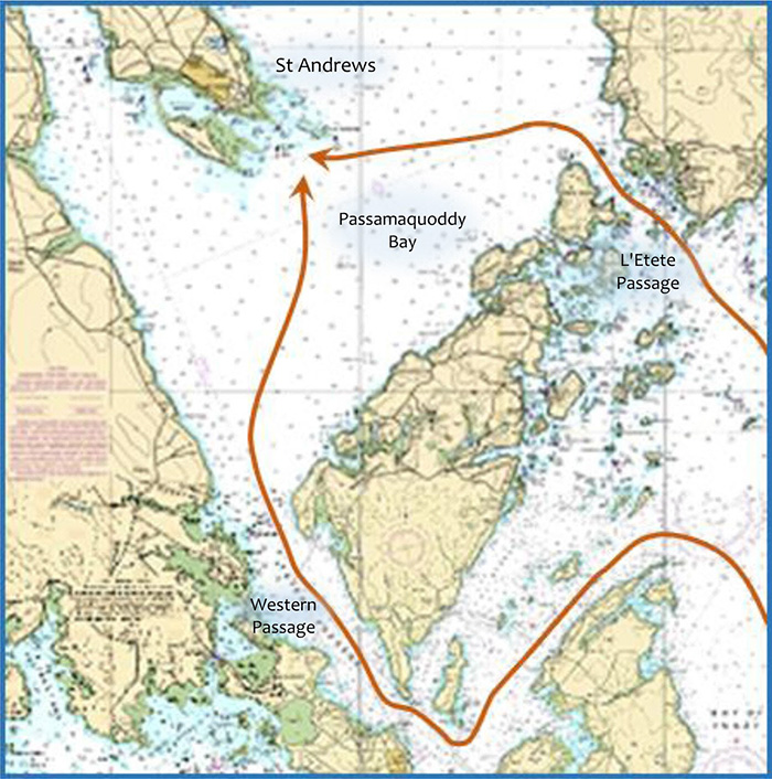
The Bay is entered via three Passages. The main entrance, used by large vessels, is the Western Passage between Deer Island and the Maine town of Eastport. On the eastern side and used by boats headed south from the Saint John area are L’Etete passage and the Little L’Etete passage. If you are exiting via the L’Etete passage, Ship Harbour, formed by a bight just north of the channel on the eastern end of McMaster Island makes a good spot at await a favorable tide.
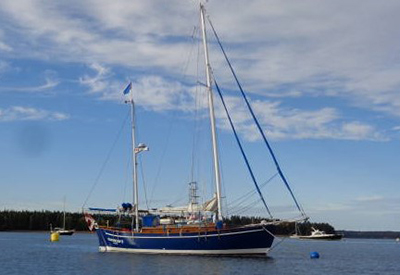
Saint John area yacht broker Ernest Hamilton (www.msy.ca ) has been sailing the waters of the Passamaquoddy Bay for over 40 years on his immaculate ketch Glooscap II. Ernest points out three of his favorite anchorages.
“Chamcook Harbour (north of the bar). Enter around the north end of Minister’s Island. It is a large harbour with some moorings. There are various lees in the harbour to provide shelter in most weather situations. It is near St. Andrews and many yachts moored here are owned by St. Andrews residents. It is quieter and more sheltered, with less current than St. Andrews Harbour.
 Ernest Hamilton
Digdeguash Harbour. Anchor in the middle, north of Long Island off a prominent point with a house on the west side. This is a picturesque, if open, anchorage. It is fine in reasonable sou’westerly winds, but should be avoided in strong southerlies or northerlies and the wind can funnel.
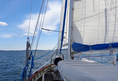
The mouth of the Magaguadavic River east of Midjik Bluff. This spot is ideal in normal summer weather with prevailing sou’westerlies. It is an interesting dinghy ride up the river to the pleasant small town of St. George.”
Credit: Ernest Hamilton
Ernest also notes that St. Andrews Harbour is an open roadstead at high water which becomes a bit more settled and protected at low water. This is when the sand bars on either end of Navy Island emerge. On the ebb, there is a current that runs from west to east, on a line connecting the respective channels, which can cause a surprising slop off the government wharf and towards the east entrance if wind opposes it. The town moorings (red circles) may unfortunately be amid this. South-east winds are particularly problematic. The most settled anchorage and mooring area is to the south close to Navy Island. The town is well worth a visit and the Wharfinger will do his best to accommodate visitors.
Cruisers planning to visit the Saint John River system should make sure they leave themselves time to enjoy the unique charms of Passamaquoddy Bay.
