Intelligent Navigation
By Mike Gridley
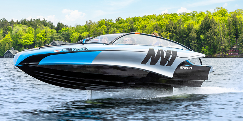
AI and Machine Learning are making boating simpler and smoother than ever before.
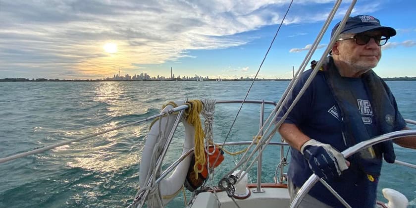
Navigating the waterways has come a long way since we moved from day boating to cruising in the 1980’s. When I took my CPS (now CanBoat) Basic Boating Course, navigation was with paper charts, compass and depth gage. Loran C radio navigation was available, but few recreational boaters invested in the equipment. The transition of GPS navigation from the military to recreational boating dramatically changed the skill set required for navigating safely. The simplicity and accuracy delivered by the first few generations of GPS units allowed fisherman, day boaters and cruising boaters to expand their horizons on the water safely and with confidence.
What started out as a basic unit that provided only monochromatic text of latitude, longitude and speed, quickly evolved to basic maps, routes, and heading and course information.
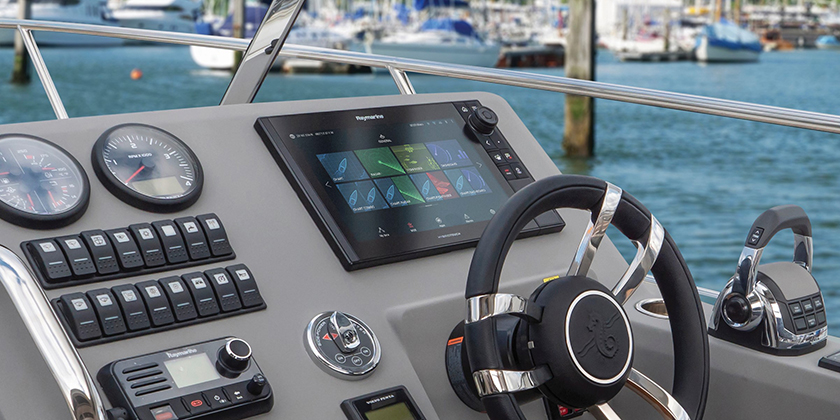
Over time position accuracy improved dramatically, charts provided more detail, rendering speeds jumped and colour screens became the norm. Finally, stand-alone GPS units gave way to Multi Function Displays (MFDs) that brought a host of navigation data with auto routing, depth and sonar, radar, AIS, boat systems data and entertainment to the helm. Screen sizes grew to the ultimate in displays, creating the glass helm.