Going Satellite Navigation for Smart Devices, Again
Mar 22, 2018
By Owen Hurst
Last year when this column launched a good deal of time was spent understanding global satellite navigation systems and which systems Apple and Android devices were able to connect to. This was vital to understanding the functionality of marine navigation apps for smart devices. We identified last summer in Going iPad or Android for Marine Navigation that iPad had the ability to connect to GPS (American) and GLONASS (Russian) satellite navigation systems. We also identified that devices such as the Samsung Galaxy had the ability to connect to GPS, GLONASS and BDS (Chinese) satellite navigation systems.
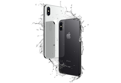
As we all know in the technology world a few months can result in significant changes, and in the world of mobile devices this can move even faster. Recently I have been hearing a number of people that have upgraded to iPhone X say that they no longer need their iPad. iPhone X has a larger screen and can do everything that an iPad can, so why carry two devices that essentially do the same task. Following their direction, I revisited the the built in global satellite navigations systems available on iPhone and found that the company has expanded its global satellite navigation system reach. A fact that advances not only the devices but the functionality of available marine navigation apps.
 To quickly refresh, there are a number of satellite navigation systems in place around the world. GPS being the most widely known. And, although we often use the term GPS to describe any and all satellite navigation, in reality GPS is just one system that is in place, but our devices use more than one global network of navigation satellites when determining position and while plotting courses.
As noted, iPad can connect to GPS and GLONASS, but iPhone 8, 8 Plus and X now have the ability to connect to GPS, GLONASS, Galileo (European Union) and QZSS (Japanese) satellite networks. Using satellite navigation is the norm today, and the ability to connect to multiple satellite navigation platforms, particularly when out of range of wireless internet or your network can be a big advantage. Satellite positioning receivers (which we often simply call GPS unit’s) require a minimum of 3 satellite connections to triangulate a position, and some units will only operate if 4 satellites are available. The more satellites your device can connect to the more accurate the reading. So, by increasing the number of satellite navigation systems that a device can connect with increases its ability to accurately relate information on your location.
If use for navigation is your primary goal new users may want to consider a new iPhone rather than purchase an iPad. We have previously identified a number of prominent navigation apps including popular apps like iNavX and Navionics, whose functionality and accuracy will be enhanced by wider use of existing satellite navigation systems. These apps are also becoming more readily available. When I identified the advantages of iNavX last year it was only available for Apple devices. The app is now available for Android users as well.
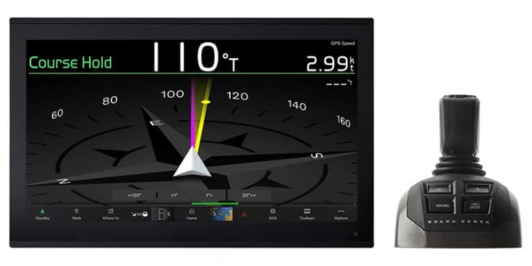
It is still recommended that you purchase a third-party satellite navigation adapter, such as a bad elf unit, to ensure that you will have the most accurate satellite connection. However, it is clear that smart devices are rapidly advancing toward the ability to remain connected to various satellite systems that will ensure accurate marine navigation anywhere. And when you consider that most new devices are splash and dust resistant and have the ability to cordlessly charge the potential as a portable navigation device is ever more present. Although I personally still recommend the use of a trusted chartplotter in conjunction with navigation apps for your smart device, marine navigation apps offer a wide array of additional functionality and features. And further, smart devices offer a wide variety of external accessories and other unique boating apps, several of which we have featured in previous editions of this column. In todays market functionality is key, and smart phones are increasingly entering markets that had previously been dominated by specific technology products. It will be interesting to see just how far these devices go in terms of functionality on and off the boat.
 About the author:
Owen Hurst was born and raised in Midland, Ontario on the shores of Georgian Bay. He has been boating and navigating ever since and has experience as a paddling instructor, rescue boat operator, and a passenger vessel operator for Parks Canada. He is also an avid fisherman. He obtained his Master’s degree from McMaster University and holds SVOP and MedA3 certificates from Transport Canada