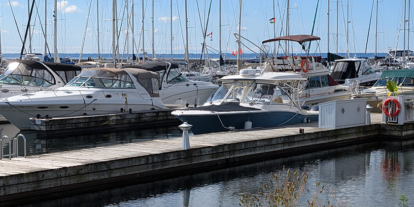
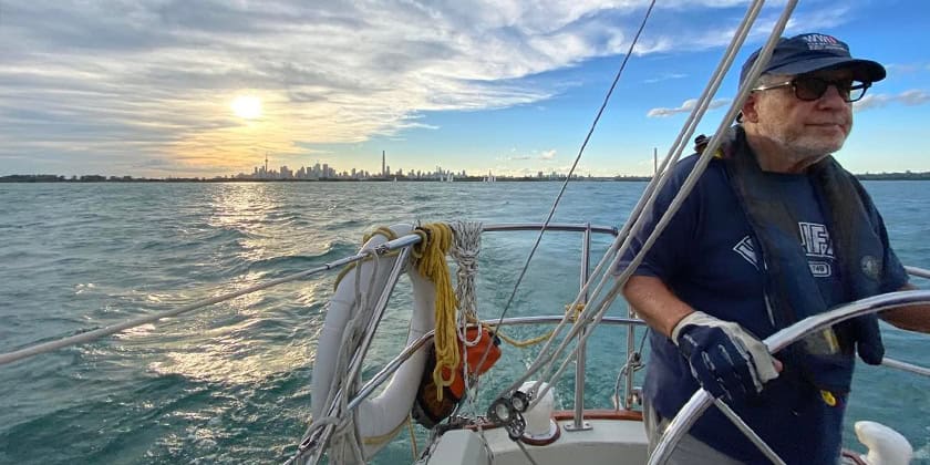
Member Benefit – Aqua Map Mobile App
Sept 10, 2020
Aqua Map is a mobile app available for iOS and Android developed by GEC srl for GPS boating navigation. This application provides the user with an amazingly clear Nautical Chart with lightning fast scrolling and realistic symbols and colors. Aqua Map makes available its functionalities in a very simple and intuitive way. Indeed most of the functions are accessible with simple gestures on the map and all are clearly described in the Aqua Map Tutorial and Help and in its website: http://www.globalaquamaps.com/aquaapp.html
Aqua Map takes mobile navigation to a whole new level, with great charts and features you won’t find anywhere else.
 Why Aqua Map
Aqua Map has numerous features not found in other nav apps and chartplotters. Most people agree that these make routing and navigating simpler and more intuitive than with other devices/apps.
 Aqua Map basic features:
• Active Captain and Waterway Guide overlays showing marinas, anchorages and local knowledge.
• Continuous chart updates.
• Download the nautical charts you need at home and use them underway without cell coverage.
• Simultaneously share purchases across 5 devices (iOS and Android may be mixed)
• Advanced anchor alarm functionalities included.
• Easy-to-understand tides and currents while planning and navigating – you can also simulate them directly on the chart.
• Plan your trip, insert and edit waypoints. Navigate your route and your track (NEW!!) to monitor distance, time (ETA) and direction toward your next waypoint or your final destination.
• Register your GPS track (along with the real depth if connected with external NMEA depth sensor).
• Routes, tracks and markers can be shared with other devices (such as a chartplotter) and even other people.
• Satellite images overlay possible when internet is available.
• Extremely clear texts and symbols – you can tune texts and icons sizes and select Night/Day colours.
 Each of the special chart packages includes a subscription to Aqua Map Master, which adds:
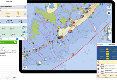
• Route Explorer 2.0 — Find all hazards, alerts, locks, bridges, marinas, anchorages and fuel stations along your route/track and automatically see time and distance to each (iOS only).
• US Army Corps of Engineers Surveys service and USCG list of lights – invaluable on the ICW and US rivers.
• NMEA (and Signal-K) devices connection via Wi-Fi — Bring wind, depth, compass, GPS, AIS data all from your boat devices into Aqua Map.
• AIS data management — See all the targets around you directly on the chart, lets Aqua Map calculate CPA and TCPA and any possible collision. Recently added SART and ATONs drawing.
CPS-ECP members will receive a 25% discount when they download the app of the navigational waters of their preference. To get your 25% discount when placing your online order please enter the discount codes listed in the member’s site (log-in required).
For any further information you can check: www.globalaquamaps.com or contact our support team: support@globalaquamaps.com.