The New Navigator; How to Get Started
May 26, 2022
The question often comes up, why do we still teach the use of paper navigation charts when the obvious choice for most boaters is electronic chartplotters or a simple handheld GPS? It’s true of course that most boaters use electronic navigation aids, and why wouldn’t they? They’re easy to use, they’re much faster than plotting on paper charts, they’re very accurate, and there’s less chance of human error. For the new boater who knows absolutely nothing about navigation, and who steps right into it by using electronic navigation aids, there’s one big thing missing: the basic fundamentals of finding one’s way on the surface of a spherical earth.
Wendy and I ran a girls’ soccer club for many years. We had four teams, four age groups: Under-12, U-16, U-18 and an adult women’s team…. our youngest girl was eight, our oldest was forty-three. Did the 12- year-old have the knowledge and skills of the 43- year-old?? Right from the git-go, the U-12’s started learning the fundamental skills of the game; different ways of handling the ball while looking around for passing opportunities, different ways of kicking the ball, and most importantly, how to think what the next move was going to be. By the time that 8-year-old got to the U-16 or U-18 team, she had a lot of those fundamental skills down pat.
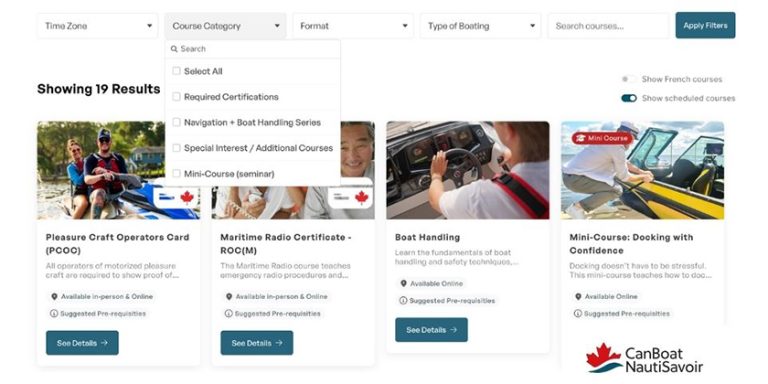
So it is with the new navigator; he/she can start out with a GPS or electronic chartplotter if they wish, but first, they should take a course or two and learn the fundamentals of navigation that are behind that GPS or chartplotter. The CPS-ECP Boating 2 course (Beyond Boating Basics) and Boating 3 (Introduction to Navigation), or Boating 2 and 3 combined, provide just what the budding navigator needs to get started. They are available as live classroom courses, virtual with an instructor, or through self-study. He/she learns that the lakes, oceans and land masses are on the surface of a spherical earth, and that the North and South Poles at each end of the axis of that sphere are fixed geographical features, compared to the moving magnetic poles the boat’s steering compass relates to. He/she learns how to establish a position using manmade or natural features that are indicated on a paper or electronic chart. All that and lots more, including other necessary seamanship skills, such as tying useful knots, anchoring, weather, etc.
After I retired as a professional marine officer, I worked in the Wiarton Airport weather station for ten years. One day I walked into the airport café for a coffee and noted a pilot sitting at a table with a series small scale road maps spread out in front of him. He was flying to Edmonton to visit family and then returning to Ontario. I never did find out whether he made it to Edmonton, or if he ever returned. Don’t be a road map navigator. Take a course.
Brian Reis