Going AIS Live for iNavX on Mobile Devices
May 24, 2018
By Owen Hurst
Again, we return to the beginning. We started this column with a look at marine navigation for mobile devices and iNavX, which has just recently updated a key feature to its marine navigational functionality.
As we have prior noted AIS (automatic identification system) was available through iNavX on your mobile device, however it required the use of a transponder, which can be a mighty costly purchase for recreational mariners. However, to make information more accessible and easy for mobile device users iNavX has launched AIS Live for its app available to both iOS and Android users of the app.
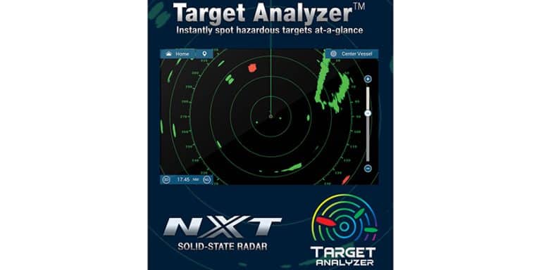
 Your mobile device can now connect to AIS Live’s global network of antennas allowing real-time ship movements to be broadcast to your app that are directly overlaid on your chart. The upgrade is designed to help provide peace of mind to boaters by delivering instant access to AIS data. Ships within your vicinity are now immediately displayed without the additional cost or installation of an AIS transponder or radar.
Now, we do need to note that this function does not operate quite the same as global satellite positioning antennae that is built into your phone. We have identified that your device can acquire and guiding via satellite positioning systems while out at sea and away from cellular service and WIFI areas.
The new AIS Live feature does not have the ability to draw directly from satellite navigation systems but requires either cellular service or direct WIFI access to download the live data. Although this creates some limitation, high traffic areas, where AIS presents the most opportunities, are typically closer to shore and thus found within areas of cellular or WIFI coverage. The coverage of AIS Live is 30 nautical miles.
Currently iNavX AIS Live’s network coverage extends from Europe to North America, the Caribbean, Mediterranean and Far East with more antennas being added regularly. And because iNavX provides charts from your favourite developers (Navionics, Fugawi, NV Charts, Explorer and Waterway Guide) the new feature will directly overlay the AIS data o the charts you are already familiar with and prefer.
 About the author:
Owen was born and raised in Midland, Ontario on the shores of Georgian Bay. He has been boating and navigating ever since and has experience as a paddling instructor, rescue boat operator, and a passenger vessel operator for Parks Canada. He is also an avid fisherman. He obtained his Master’s degree from McMaster University and holds SVOP and MedA3 certificates from Transport Canada.
